


Imagine that you're lost in the woods with your compass and topographical map. To find your way back to a trail and safety, you must triangulate your position. The process of triangulation allows you to find your approximate location based on the bearings of two landmarks visible from where you are. These bearings are then translated onto your map to determine your location.
Items you will need
Topographical map
Compass
Pencil
Protractor
Choose two features on your topographical map that you can see from your location. Mountains are often the most ideal landmark to use as they are easy to see from most locations. You can also use man-made landmarks if they are on the map and you can see them from your location.
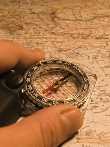
Orient your map so that north is aligned with the direction that your compass indicates is true north.
Move the compass so that the direction arrow is pointed at the first landmark from which you are triangulating. Turn the compass dial so that the red, true north arrow is aligned with the true north point on the dial. Read the bearing indicated by the compass.
Draw a straight line with a pencil and protractor from the landmark on the map using the bearing indicated by your compass.
Repeat the reading process for the second landmark. Draw a line with the corresponding bearings. The place where the two lines meet will show you your approximate location.
References
Writer Bio
Tatyana Ivanov has been a freelance writer since 2008 and has contributed articles to "Venus" and "Columbus Family." She continues to write humor pieces for a number of popular culture blogs. Ivanov holds a Bachelor of Arts in media studies from Hunter College.