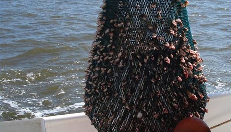

The Texas coastline is home to several estuaries and bays that encompass well over a million acres of water; they are the home to shrimp and many other forms of sea life. Shrimp is one of the most economical fisheries of the area. The shrimp are harvested within one year after birth, making them an annual crop.
Check the Seasonal Closures
You certainly do not want to plan a trip to the shore to go shrimping, only to find out that the season is closed. Typically during the middle of May, when the waters warm up and the shrimp start growing rapidly, the waters are open to the shrimping industry. This allows the juvenile shrimp time to leave the shallow estuaries and head for the deeper waters of the bay. The season will stay open until some time in July, by which time the shrimp will be much larger and more valuable as a catch. Check with the Texas Parks and Wildlife for the current regulations.
Stay Clear of the Inland Waters
There are strict regulations about where you can and cannot shrimp along the Texas coastline. Basically, the outer waters from the shoreline out for nine miles are open for shrimping during the shrimping season. Stay away from any waters that run inland from the shoreline, except for the very large bays such as Trinity Bay, Galveston Bay, East Matagorda Bay, Aransus and Corpus Christi, just to give a few examples. According to the National Biological Information Infrastructure, over 98 percent of the fishing in the Gulf of Mexico is bay/estuary dependent. This means there are cycles where the fish are born in one area, such as the bay, and are carried by the currents into the estuaries to mature.
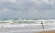
Find the Deep Waters
When the shrimp pass from the juvenile stage into adulthood, they will migrate back out into the deeper waters of the Gulf of Mexico. If you go out by boat, watch the depth of the waters you are planning to go fishing in. Marine charts are printed that will give you the average depth of the area. You can also use a depth finder on your boat to search for the deep water before you drop your nets.
References
Writer Bio
Maryland resident Heide Braley is a professional writer who contributes to a variety of websites. She has focused more than 10 years of research on botanical and garden articles and was awarded a membership to the Society of Professional Journalists. Braley has studied at Pennsylvania State University and Villanova University.